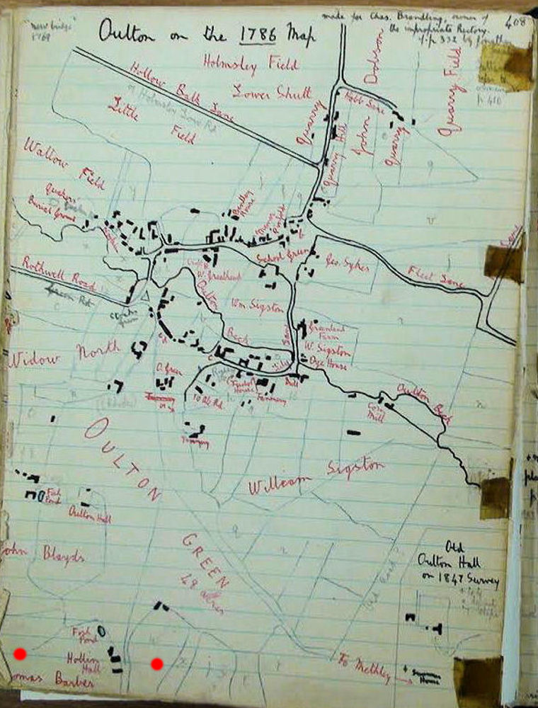
See lower left corner for property etc.

**omas Barber of Hollin Hall was a half-brother of my ancestor Mary Barber [b.1753]
The wavy, nearly vertical line to the right of the buildings later became a turnpike road
(now A642) connecting Leeds and Wakefield.
Approximate area displayed = (One mile N-S) x (0.75 miles E-W)
The sketch was drafted by a Rev. Mercer, circa 1950
presumably transcribing data from an historic tithe map.
LINK to more of the Rev. Geoffrey Mercer's history of Oulton, Rothwell.
The content of the above LINK is massive although easy to
to navigate as it is in .pdf format.
